| General Info | How to Fish | Where to Fish | What's this Fish | Who's Fishing | ||
| handline fishing | ||||||
West Coast Park
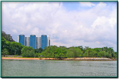
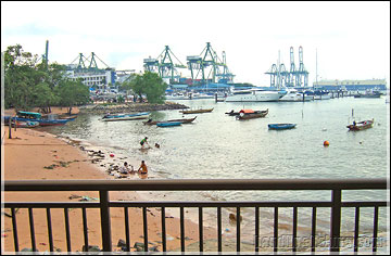
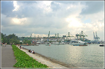
West Coast Park is located at the southwestern coast of Singapore along West Coast Highway. Most part of the park's shoreline has been made into breakwater from its once sandy shore. The shore was(and still is) used as a berthing place for many small wooden boats. The nearest public transport will be bus which you can take just alongn West Coast Highway. Nearest MRT is Clementi and you can take bus service 175 from there to the park. There are two carparks for those who drive; the one beside MacDonalds will be the one closer to the shore.
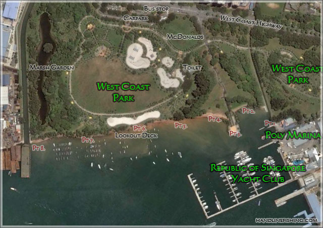
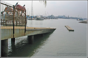
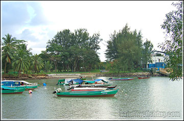
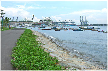
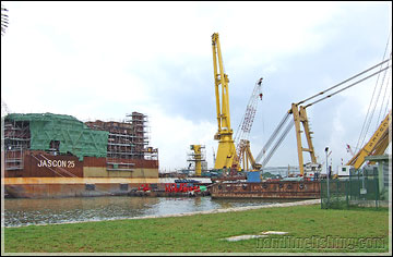
Map of West Coast Park Starting from the extreme right end of the coast(from map), you can fish beside the poly marina just beside its slipway. This area is small but it's pretty shady fishing under the trees there. Water along this side of the shore isn't very deep and casting far out doesn't help. The potential of this spot lies in the slipway which possibly hold potential for snappers and groupers hiding beneath. There's a canal and a drain that leads to this area. The habitat here leans closer to that of a mangrove, and mullets tend to thrive here and possibly prawns. This attributes to the possibly of barramundi or other predatory fish coming in to feed. It's also difficult to fish from the sandy shore as they are many boats moored along it. There will be a heavy discharge of rain/muddy water during heavy rain which makes the surrounding waters unfavourable to fish in.
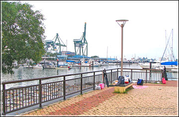
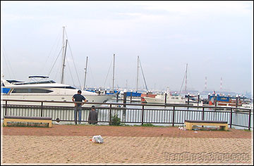
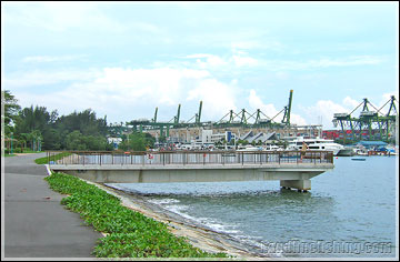
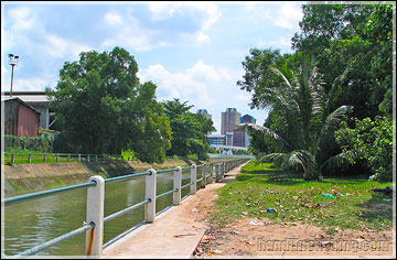
Just opposite the Poly Marina is a small headland with an open space. You can see the entire RSYC from here and the many boats berthed along pontoons. This is the main area where most anglers fish in West Coast Park. On both sides of this area are small boats berthed along shores so it leaves only the outward side feasible for fishing. The headland is surrounded by rocks, much like a breakwater. Caution: The stretch of waterway infront of the headland is pretty narrow,a surf tackle set can easily reach the boat berthed directly on the opposite side. Anglers must be be aware at all times for boats passing by; if you cast too far out, your line may get tangled on their propellors. The waterway is typically busy during weekends and public holidays when boaters are active.
last update 31 Mar 2008 |
| Copyright © handlinefishing.com |
| General Info: News & Articles :: Lunar Tides :: Resource :: About Site |
| How to Fish: Basics & Concepts :: Types of Fishing :: Specific Guides :: Knots & Rigs |
| Where to Fish: Shores & Jetties :: Reservoirs & Streams :: Offshore Islands :: Pay Ponds |
| What's this Fish: Freshwater :: Marine :: Fish Facts :: Other Aquatic Life |
| Who's Fishing: Chat Room :: Tackles Directory :: Offshore Fishing :: Discussion Forums |